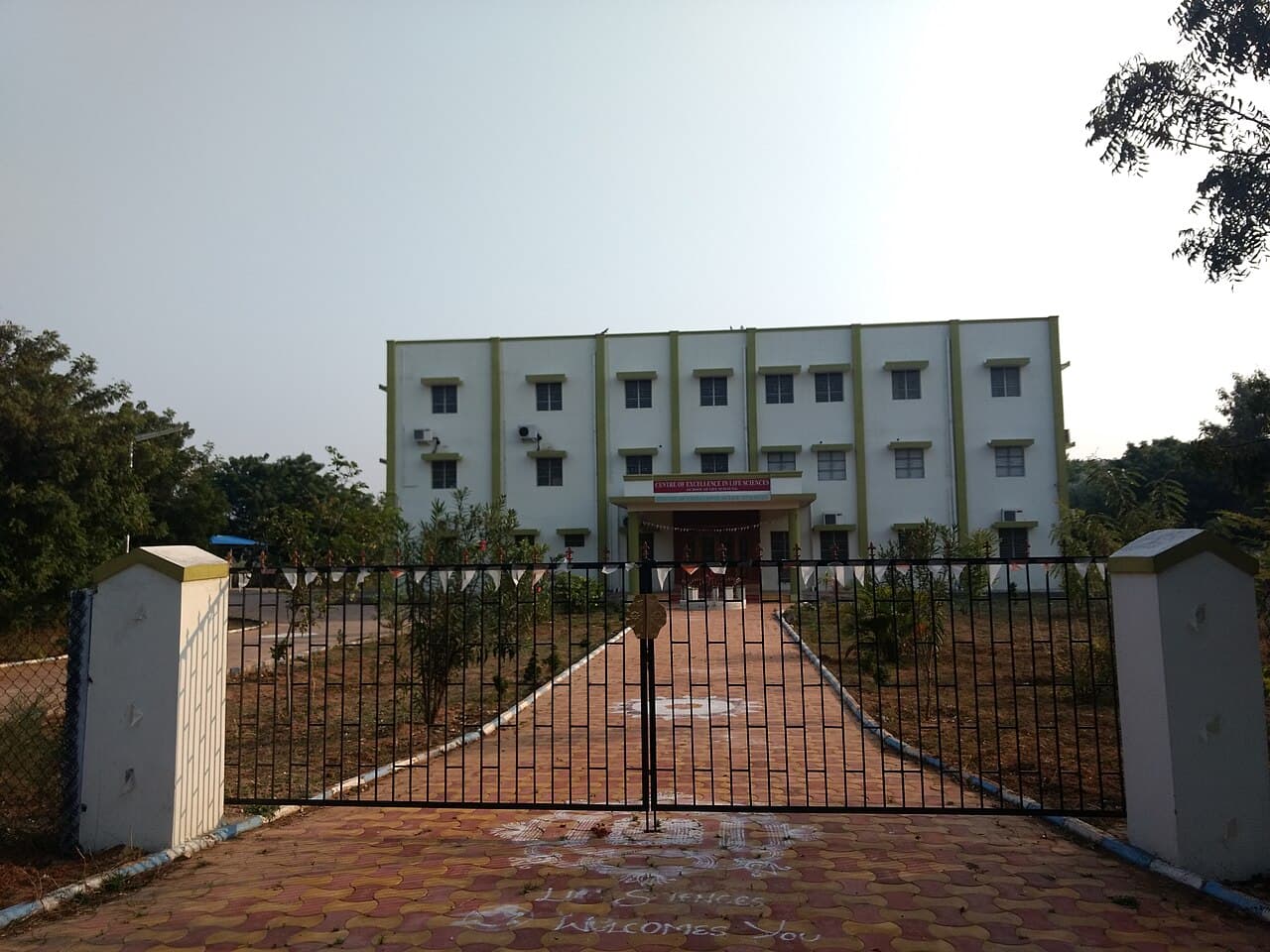
An integrated M.Tech in Geoinformatics combines undergraduate scientific and engineering foundations with advanced study of spatial data, geographic information systems and remote sensing. Programmes may emphasise geological technology, mapping, satellite-image interpretation, environmental applications and research projects. Entry is after upper-secondary education with prescribed mathematics and science subjects. Duration, intermediate awards and progression rules depend on the institution; this school-entry route is distinct from a postgraduate M.Tech requiring a prior degree. Explore where this route is available, which countries students usually compare, and the next pages worth opening when you want a clearer path.
What this page helps with
Use this page to understand the course path, the kinds of destinations students consider, and the next decisions worth focusing on.
Available destinations
These are some of the destinations where students currently find Integrated M.Tech Geoinformatics options in the catalog.
University options
Browse these options when you want to move from course guidance to actual university comparison.
Destination Hub
Open these destination pages for more context on cost, recognition, student life, and country-level differences.
University Preview
These listings give you a quick sense of the options before you open the full university list.
Connect directly with our senior counsellors. We'll help you evaluate destinations, compare specific university safety and fees, and build a personalized roadmap. No commitments required.
Share your details and we will call you back.